
Arcane Odyssey Sea Chart Guide: How to Read Sea Chart Clues
If you searched for Arcane Odyssey sea chart, you are probably trying to understand whether a chart clue belongs to Bronze Sea, Nimbus Sea, or a specific island route. This guide explains how sea chart wording fits into Treasure Chart solving, then shows the clean process for narrowing the dig zone before you use the locator.
Published | Updated | By Arcane Tools Editorial Team
Sources and scope
This page separates search wording from game mechanics: players say sea chart, while the core system is still Treasure Chart clue reading across sea regions and islands.
For official game context, see Arcane Odyssey on Roblox.
For chart mechanics, compare the Treasure Charts wiki and the Charting wiki.
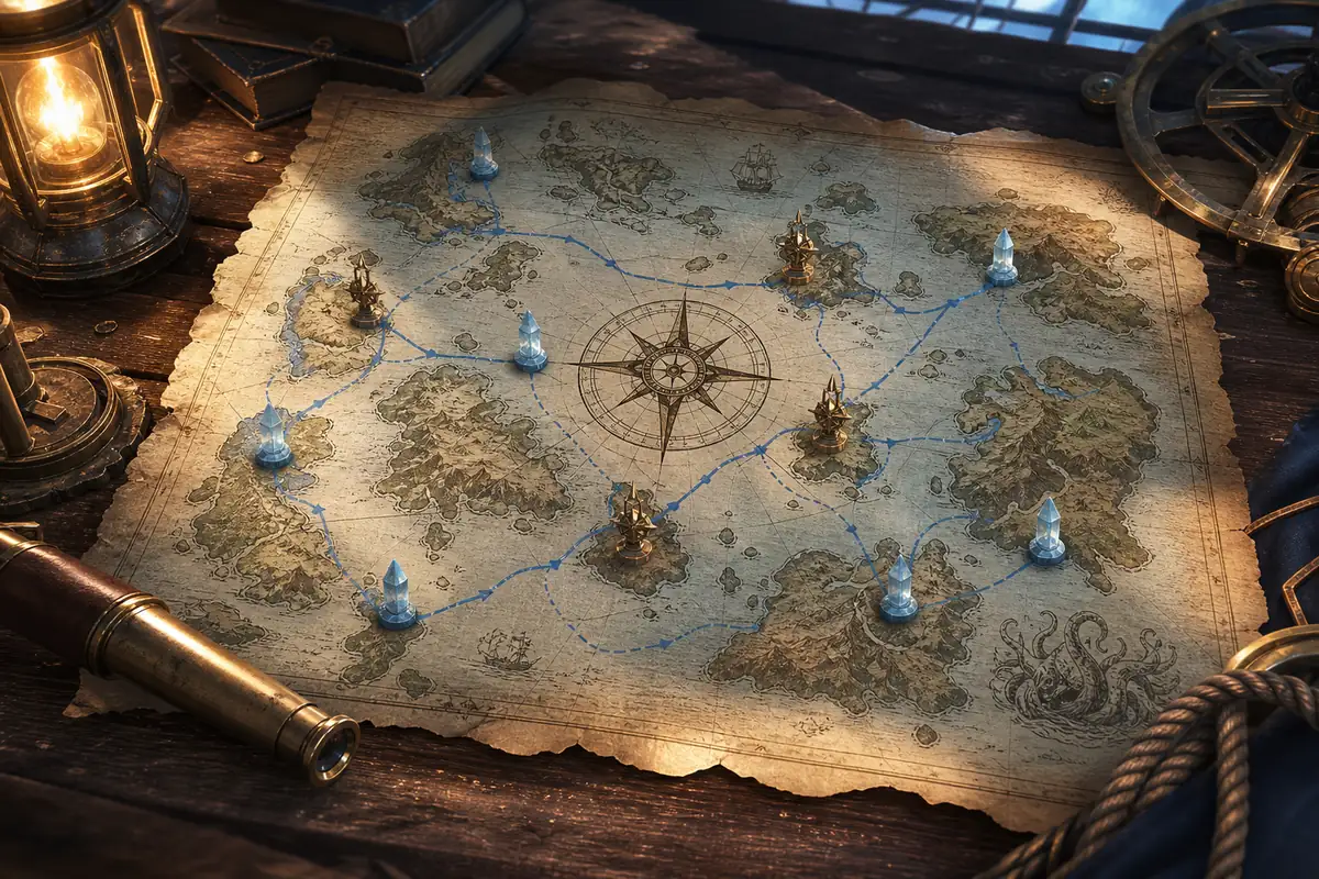
The useful answer is straightforward: a sea chart clue should not be solved as a separate mystery. In normal player language, sea chart usually points back to Treasure Chart solving with extra attention on the sea region. You still need the same filters: island, direction, distance, elevation, and terrain. The difference is that sea context prevents a very common mistake: trying to read a clue before you are sure the island and region are current.
This is especially important after Nimbus Sea expanded the game's world model. Older notes, partial island lists, and vague "map" searches can send players toward the wrong assumption. A good sea chart workflow starts broad, then becomes precise. Identify the sea and island first, use a map guide if the region is unfamiliar, then open the Arcane Odyssey Treasure Chart Locator once the clue has concrete island, direction, and distance values.
What does sea chart mean in Arcane Odyssey?
In search behavior, sea chart arcane odyssey usually means one of three things. Some players want to know whether a chart clue belongs to Bronze Sea or Nimbus Sea. Some want help reading a Treasure Chart that mentions a confusing island or region. Others are looking for a route-level explanation before using a solver. Those are different needs, but they share one solution: understand the chart as a layered clue.
The game mechanic behind the search is Treasure Charts. A chart narrows a buried treasure location by naming where to go and how to search the area. The phrase sea chart is useful because it reminds you not to skip the map layer. If you do not know which sea you are in, which islands belong to that sea, or whether a newer island name has been added, even a perfect compass read can still lead to wasted digging.
Fast answer
Treat a sea chart as a Treasure Chart clue with sea-region context. Confirm Bronze Sea or Nimbus Sea, identify the island, then use direction, distance, elevation, and surface wording to shrink the dig zone.
How to solve an Arcane Odyssey sea chart
A clean solve has two phases. First, orient yourself in the world. Second, solve the local island clue. Do not reverse that order. If the world context is wrong, the local clue can look impossible even when the chart is valid.
- Confirm the sea region. Decide whether the clue is effectively pointing toward Bronze Sea, Nimbus Sea, or a known island in one of those seas.
- Confirm the exact island name. Do not rely on memory if the island list may be outdated.
- Translate the direction. Use the 16-point compass, including secondary directions such as NNE, ENE, WSW, and NNW.
- Choose the distance ring. Few paces, halfway, and on the edge are broad zones, not exact coordinates.
- Filter by elevation and surface. The final spot should match height and terrain wording, not just the green map wedge.
- Dig in a controlled sweep. Move through matching terrain instead of hopping randomly between possible spots.
Once steps one through four are clear, use the Treasure Chart Locator for the visual search wedge. If you are unsure which island belongs to which region, read the Arcane Odyssey Map Guide first.
Sea chart clue parts, explained
The table below shows why each clue part matters. The goal is not to find one magic pixel. The goal is to remove wrong areas until only a small set of plausible digging spots remains.
| Clue part | What it controls | How to use it |
|---|---|---|
| Sea or island name | Where the chart can resolve | Confirm whether the clue is pointing into Bronze Sea, Nimbus Sea, or a named island before reading the rest. |
| Compass direction | The wedge from the island center | Use the full 16-point compass. West Northwest and Northwest are separate search wedges. |
| Distance phrase | The ring from center to edge | Few paces is inner, halfway is middle, and edge is the outer band of the island. |
| Elevation clue | The vertical layer | High cliff, sea level, and moderate height clues should remove large sections of the map. |
| Surface clue | The final ground filter | Sand, snow, grass, dirt, and special terrain wording decide where to dig inside the zone. |
If your clue seems contradictory, do not immediately assume the chart is bugged. Most failed reads come from using only two clue parts and ignoring the rest. Direction plus distance gives a zone. Elevation and surface make that zone usable.
Bronze Sea charts vs Nimbus Sea charts
Bronze Sea charts are usually easier to learn because the islands become familiar early. Nimbus Sea charts demand more current map awareness. That does not mean the clue system changes completely. It means the cost of stale map knowledge is higher.
| Chart context | What changes | Best solving habit |
|---|---|---|
| Bronze Sea chart | Earlier progression, familiar islands, simpler route memory | Best for learning direction and distance reading without too much world complexity. |
| Nimbus Sea chart | Later progression, larger route planning, newer island assumptions | Best solved after checking current island names and using map context before digging. |
| Lost or Mythical chart | Multiple possible values and higher effort | Treat each possible clue as a branch, then eliminate options with terrain and elevation. |
| Sea chart wording | Broad sea context or sea-region clue language | Do not solve it like a bare coordinate. Translate sea, island, direction, distance, and terrain together. |
If you are stuck on a Nimbus Sea clue, check the island identity before tuning the direction. Many players lose time because they interpret a correct direction on the wrong mental map. For broad orientation, keep the Map Guide open. For chart mechanics, use the Treasure Chart Guide. If the named island is Sameria, use the Sameria Treasure Chart Guide for island-specific terrain and Buried Treasure context.
How Lost and Mythical charts change the process
Lost and Mythical charts deserve extra patience because they can involve more uncertainty and higher effort. The practical method is not to brute force everything at once. Split the clue into branches. Test the strongest branch first, then move to the alternate island, direction, or surface only when the evidence fails.
For example, if the clue gives uncertain surface language, do not abandon the direction wedge immediately. Sweep the matching ring at the correct elevation first. If that fails, move to the alternate surface inside the same broader interpretation. This keeps your search structured and prevents the most expensive mistake: changing every assumption at the same time.
Common sea chart mistakes
These are the issues to check before giving up on a sea chart clue:
- Using a map page as a solver: a map guide gives orientation, while the locator gives a search wedge.
- Skipping sea context: Bronze Sea and Nimbus Sea assumptions affect which island list you should trust.
- Flattening the compass: secondary directions are narrower than broad diagonal guesses.
- Ignoring height: high cliffs, lower coast, and mid-height terrain are not interchangeable.
- Overtrusting one dig spot: the chart defines a zone, so several nearby digs may be needed.
- Using outdated island memory: current Nimbus Sea context matters for newer clue interpretation.
Best tool workflow for sea chart clues
The fastest workflow uses each Arcane Tools page for the job it handles best. Start with this page when the phrase sea chart or sea-region clue is confusing. Use the Map Guide when you need broader island and sea orientation. Use the Treasure Chart Guide when you need full mechanics, rarity, shovel, or Explorer's Intuition context. Then use the Treasure Chart Locator for the actual visual wedge.
After the treasure is found, your rewards may include gear worth evaluating. That is where the Armor Build Calculator fits naturally: solve the chart, collect the loot, then check whether the armor improves your build before storing or discarding it.
Frequently asked questions
What is a sea chart in Arcane Odyssey?
Players usually use sea chart to describe Treasure Chart clues that need broader sea-region awareness, especially Bronze Sea versus Nimbus Sea context. The practical task is still the same: identify the island, direction, distance, elevation, and surface before digging.
Is a sea chart different from a Treasure Chart?
In most player searches, sea chart is not a separate tool page inside the game. It is a search phrase for chart clues that involve sea regions, island routing, or Treasure Chart solving across Bronze Sea and Nimbus Sea.
How do you solve a Nimbus Sea chart?
Start by confirming the Nimbus island, then use a 16-point compass direction and distance ring. After that, use elevation and surface wording to remove wrong areas. Nimbus charts punish outdated island assumptions more than early Bronze Sea charts.
Why does my sea chart not match the island?
Common causes are choosing the wrong sea, using an older island list, reading a secondary compass direction as a main diagonal, or ignoring elevation and surface clues after the locator shows the broad zone.
Should I use the Treasure Chart Locator for sea charts?
Yes, once you know the island, direction, and distance phrase. Use this guide to interpret the clue, then use the Treasure Chart Locator to visualize the search wedge.
Final takeaway
A sea chart clue becomes manageable when you read it from broad to narrow: sea, island, direction, distance, elevation, surface. That order keeps you from over-solving the wrong map and helps the locator do what it is designed to do: turn a valid clue into a practical search zone.
When the clue is clear, open the Arcane Odyssey Treasure Chart Locator and match the island, direction, and distance before you start digging.